Webinar Series 2, 2021, No. 9
Kerry Archaeological and Historical Society
Date: 15th May 2021 at 7:30pm
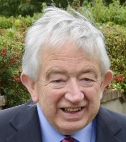
Dr. Arnold Horner
Presents
‘Mapping South Kerry’
This upcoming webinar focuses on the early mapping of south Kerry with particular attention to five contributions that reveal some of the issues and challenges faced by the ‘pioneer mapper’ – usually an individual of a small group of individuals who took on what must have been some quite daunting mapping tasks. Highlighted here is the work of the county mapper, Charles Smith, the estate surveyors William Raymond and Thomas Redman, the Down Survey men, Lewis Smith and John Humphreys, the chart-maker, William Brooke, and the government agent, Robert Lythe.
Operating with very limited resources, these men made some very distinctive maps over the period between 1571 and 1756. Their maps provide insights to contemporary landscapes and place-names, and on occasion, to local economies and social circumstances.
Dr Arnold Horner formerly taught geography at University College Dublin. His book, Mapping Laois (2018) was awarded the Nilsson prize for local history at the Listowel Books Festival in 2019.


